
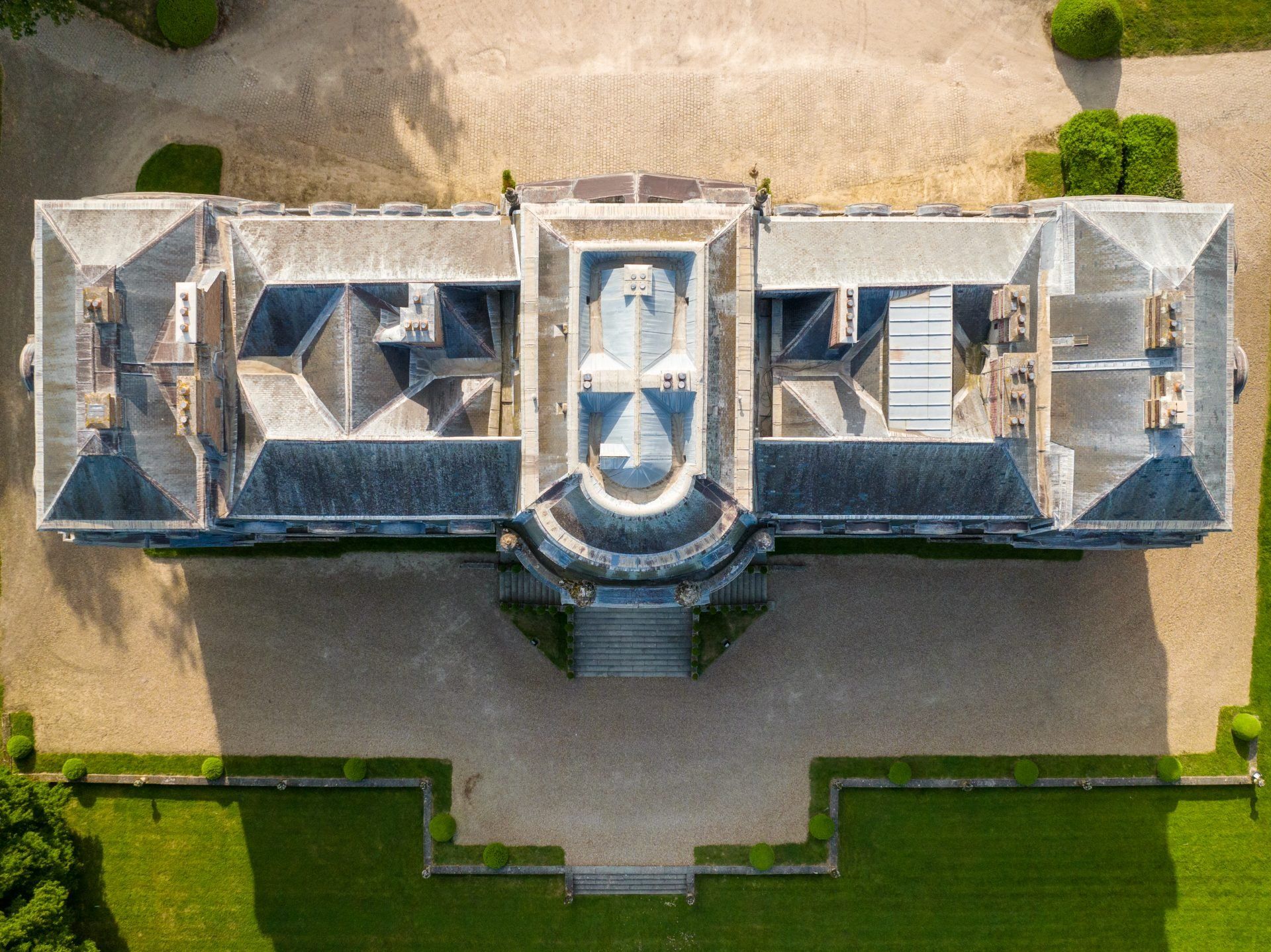
Photogrammetry service
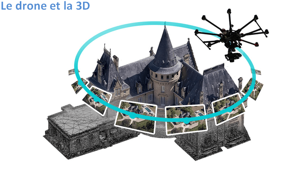
Representing buildings or architecture in 3D means taking many photos from different angles, which are then stitched together to show the volumes.
Modelling
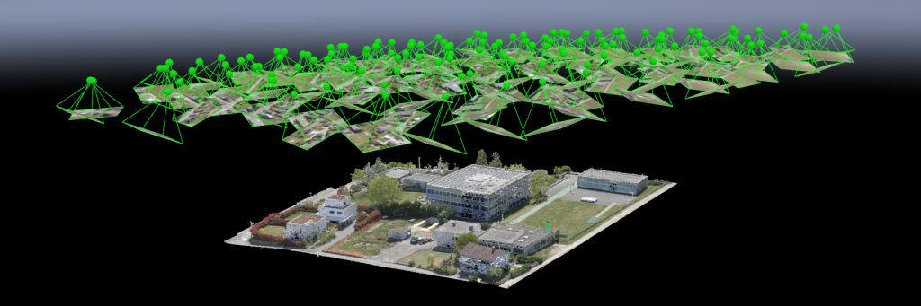
Photogrammetry began with airships. Today, GPS-equipped drones follow very precise paths, such as 360-degree orbits around an object at several heights.
During the flight, photos are taken at regular intervals and imported into processing software, giving a 3D view that supports very precise topographic measurements. The DMR team masters the whole chain, from capture to the final assembly of the views.
Tools we use: DroneDeploy · Pix4Dmapper · DJI GS Pro · Litchi · Map Pilot
Automated flights
With flight-planning apps, photogrammetry missions are optimised: the areas to cover are programmed in advance, then on the day the drone flies automatically and triggers the shots at the right intervals. Image overlap is optimal and the result far better.
Stitching takes a lot of computing time and powerful computers. Simple in theory, in practice it requires full control of the capture chain to limit precision errors and produce high-quality views.
Our other services
Your project from the sky starts here
Free feasibility study and quote, quick reply.